
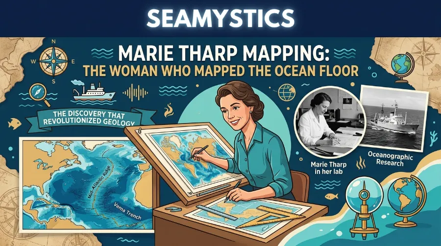

Picture a scientist who never once set foot on a research ship. Yet she ended up redrawing the entire floor of the world’s oceans by hand. That is not a hypothetical. That is Marie Tharp. She quietly rewrote earth science from a drafting table in New York, while the men who collected her data got the credit at conferences she could not attend. Marie Tharp mapping ranks among the most underrated breakthroughs in twentieth century science. Once you know her story, you will never look at an ocean map the same way again.
James Cameron’s Deepsea Challenger Dive Explained
Dr. Rabica here. I have spent two decades studying seafloor geology and marine cartography. Tharp’s maps still hang on my office wall because they hold up shockingly well against modern satellite bathymetry. This piece walks through her biography, her discoveries, and why her seafloor cartography work still shapes how we understand plate tectonics today.
TL;DR: Marie Tharp turned raw sonar depth data into the first detailed map of the Atlantic Ocean floor. In 1953, she found the Mid Atlantic Ridge’s central rift valley. That single discovery gave scientists the physical proof they needed to finally accept continental drift, a theory most geologists had dismissed for decades.
Key Takeaways
| Fact | Detail |
|---|---|
| Born | July 30, 1920, in Ypsilanti, Michigan |
| Started at Lamont | 1948, as one of the first women hired there |
| Rift valley discovery | 1952 to 1953, while charting North Atlantic depth profiles |
| First published map | Physiographic Diagram of the North Atlantic Ocean, 1957 |
| Ridge length confirmed | Roughly 40,000 miles, circling the entire globe |
| World Ocean Floor map | Completed 1977, painted by Heinrich Berann |
| Died | August 23, 2006, in Nyack, New York |
Who Was Marie Tharp
Marie Tharp biography research usually starts in an unlikely place. She earned an English and music degree from Ohio University in 1943. Back then, she had no plans to become a geologist. Her father worked as a soil surveyor for the US Department of Agriculture, and she tagged along on his fieldwork as a kid. Still, mapmaking read as men’s work at the time.
Eugenie Clark The Shark Lady Who Changed Marine Biology
World War II changed that equation. The draft pulled young men out of universities, and schools opened geology programs to women who would normally have been turned away. Tharp took the opening. She earned a master’s in geology from the University of Michigan in 1944, then added a second degree in mathematics. That mix of geology and math turned out to match the job ahead of her perfectly.
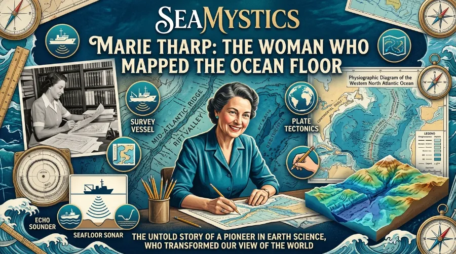
She joined Columbia University’s Lamont Geological Observatory in 1948, now called Lamont-Doherty Earth Observatory. She became one of the first women on staff. Research vessels barred female scientists at the time, so while her colleague Bruce Heezen sailed out to collect echo sounding data, Tharp stayed behind. She turned rolls of raw depth readings into something nobody had ever produced: a readable picture of the ocean floor.
Our guide on Sylvia Earle’s achievements covers the generation of women who followed in Tharp’s footsteps and finally got to dive themselves.
How First Ocean Floor Map Data Was Actually Built
No software existed for this kind of work. Tharp used paper, ink, and a slide rule. She converted thousands of individual sonar depth readings into six profile lines across the North Atlantic. Each line traced a cross section of the seafloor beneath a ship’s path.
Here is roughly how the process worked, step by step:
- Ships crossed the ocean and pinged the seafloor with echo sounders, timing how long the sound took to bounce back.
- Researchers converted those timing readings into depth measurements at set intervals along each route.
- Tharp plotted the depths as two-dimensional profiles, then reworked them into three-dimensional physiographic sketches.
- She filled data gaps between ship tracks using geological reasoning, essentially educated inference grounded in known seafloor patterns.
- She combined the completed profiles into a single physiographic diagram of the whole basin.
In 1952, Tharp lined up all six North Atlantic profiles side by side. She noticed something odd immediately. Every profile showed a V-shaped notch near the middle of a long underwater mountain range. That notch was not noise in the data. It was a valley, and it ran the entire length of the ridge.
The Discovery That Nobody Wanted to Believe
Tharp brought her rift valley theory to Heezen in 1953. He dismissed it outright at first, at one point calling it little more than guesswork. Continental drift, the idea that continents physically move across the earth’s surface, had been on the table since 1912, when Alfred Wegener proposed it. Most geologists still treated it as fringe science. Tharp’s reading of the data pointed straight toward it, and that made her colleagues uneasy.
Marie Tharp Mapping The Woman Who Mapped the Ocean Floor
The turning point came from a separate project on the next drafting table over. Heezen and researcher Howard Foster had been plotting underwater earthquake epicenters across the Atlantic for Bell Laboratories. That project aimed to help engineers avoid damaging transatlantic communication cables. Tharp overlaid the earthquake map on top of her rift valley profiles. The epicenters lined up almost exactly along the valley she had found.
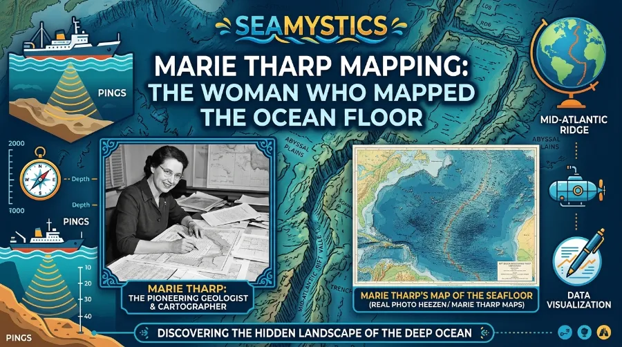
That correlation was hard to argue with. Earthquakes were happening precisely where Tharp said the crust was pulling apart. It took roughly a year of Tharp pressing the point before Heezen came around. The two presented their combined findings at the American Geophysical Union meeting in 1956. Their first published physiographic map followed in 1957, and it stunned scientists who had assumed the ocean floor was little more than a flat, muddy plain.
Don Walsh Trieste The First Man to Reach the Challenger Deep
Marie Tharp Discoveries That Reshaped Geology
Once the rift valley held up under scrutiny, more pieces fell into place fast. Here is a quick rundown of what her work eventually established:
- A continuous rift valley running along the crest of the Mid Atlantic Ridge, first confirmed in 1953
- A mid ocean ridge system stretching close to 40,000 miles, wrapping around the entire globe rather than staying confined to the Atlantic
- Physical, testable evidence supporting continental drift and, later, plate tectonics and seafloor spreading
- The first detailed physiographic maps of the North Atlantic (1957), followed by the South Atlantic and Indian Ocean through the early 1960s
Each finding built directly on the last one. Other expeditions soon found similar ridge and rift patterns in the Indian Ocean, the Arabian Sea, and the eastern Pacific. This was clearly not a local Atlantic quirk. It was a planet-wide system, and Tharp’s method for reading it kept proving accurate wherever researchers applied it.
Our HMS Challenger expedition guide covers the earlier survey work that laid some of the groundwork Tharp later built on.
Seafloor Cartography History After Tharp
Tharp and Heezen kept working together for three decades. They published regional maps through the 1960s and early 1970s. Heezen died in 1977 during a submarine expedition near Iceland, before their most ambitious project was finished. Tharp completed it that same year: the World Ocean Floor map, a full physiographic view of every ocean basin on earth. Austrian landscape artist Heinrich Berann painted it to bring the topography to life visually.
What makes this map remarkable, and what I still show students when I teach seafloor cartography history, is how accurate it remains. Modern satellite bathymetry draws on orders of magnitude more data. Even so, it lines up closely with what Tharp drew by hand decades earlier. That is not a coincidence. It reflects how carefully she reasoned through incomplete data, rather than just connecting dots mechanically.
Auguste Piccard The Engineer Behind the First Deep Dives
Tharp kept working at Columbia until her death on August 23, 2006, at 86 years old. The Library of Congress later named her one of the four greatest cartographers of the twentieth century. Woods Hole Oceanographic Institution also gave her the Mary Sears Woman Pioneer in Oceanography Award. Recognition came late, much of it after Heezen’s death, but it came.
Our pieces on Robert Ballard’s discoveries and Auguste Piccard’s bathyscaphe trace what happened once submersibles let researchers actually see the terrain Tharp had only mapped from sonar.
Why Marie Tharp Mapping Still Matters Today
Every modern ocean floor map sits on the foundation Tharp built, from NOAA’s bathymetric charts to Google Ocean. Plate tectonics now sits at the core of every earth science curriculum. That was not true until roughly the 1960s, and Tharp’s rift valley discovery is a big reason it stopped being fringe theory and became accepted fact.
Her story also holds a lesson about research culture. Ship crews excluded Tharp purely because of her gender. Yet that constraint, which should have limited her career, ended up producing her greatest contribution. She had uninterrupted time at the drafting table that her seafaring colleagues lacked. That time is arguably what let her spot the pattern nobody else caught.
The Woods Hole Oceanographic Institution’s biographical materials place the start of Tharp’s early work at Lamont around 1952. She used sounding data pulled from research cruises aboard the vessel Atlantis, dating back to the late 1940s (WHOI, Marie Tharp profile). That timeline matches how methodical her process really was: years of quiet, unglamorous data work before the discovery that made headlines.
Finding Ada’s profile of Tharp offers a solid deeper read on her early career and the Lamont years (Finding Ada, Marie Tharp profile). The Library of Lost Maps also has a good rundown comparing her charts to fourteen other maps that changed how we understand the seafloor (Library of Lost Maps, fifteen maps that changed the ocean floor).
Frequently Asked Questions
What did Marie Tharp actually discover?
She found the rift valley running along the center of the Mid Atlantic Ridge between 1952 and 1953. That discovery provided the physical evidence needed to support continental drift and, later, plate tectonics.
When was the first ocean floor map published?
Tharp and Heezen published their first physiographic map of the North Atlantic in 1957. A complete World Ocean Floor map followed in 1977.
Why was Marie Tharp not credited sooner?
Women could not join research vessels in that era. Much of the early published work under Heezen’s name did not list her as a co-author at first, even though colleagues later admitted the papers could not have existed without her mapping.
Is Marie Tharp’s original map still accurate?
Remarkably, yes. Comparisons against modern satellite bathymetry show her hand-drawn maps line up closely with current data. That accuracy testifies to how carefully she filled data gaps using sound geological reasoning.
Conclusion
Marie Tharp mapping delivers a rare science story where the evidence, the underdog, and the payoff all line up perfectly, and none of it needs exaggeration. She took incomplete sonar readings and filled the gaps with real geological judgment. She found something her own colleague initially refused to believe. That rift valley discovery became the physical proof continental drift needed to move from fringe idea to established science. Explore our full famous ocean explorers hub for more researchers who reshaped how we understand the sea, including the Jacques Cousteau legacy that runs parallel to Tharp’s own era of discovery.
References
- Woods Hole Oceanographic Institution, Marie Tharp biography: https://www.whoi.edu/person/marie-tharp/
- Finding Ada, Marie Tharp: Geologist and Oceanographic Cartographer: https://findingada.com/blog/2021/10/13/ald21-marie-tharp-geologist-and-oceanographic-cartographer/
- Library of Lost Maps, Fifteen Maps That Changed How We See the Ocean Floor: https://libraryoflostmaps.com/2026/05/06/fifteen-maps-that-changed-how-we-see-the-ocean-floor/