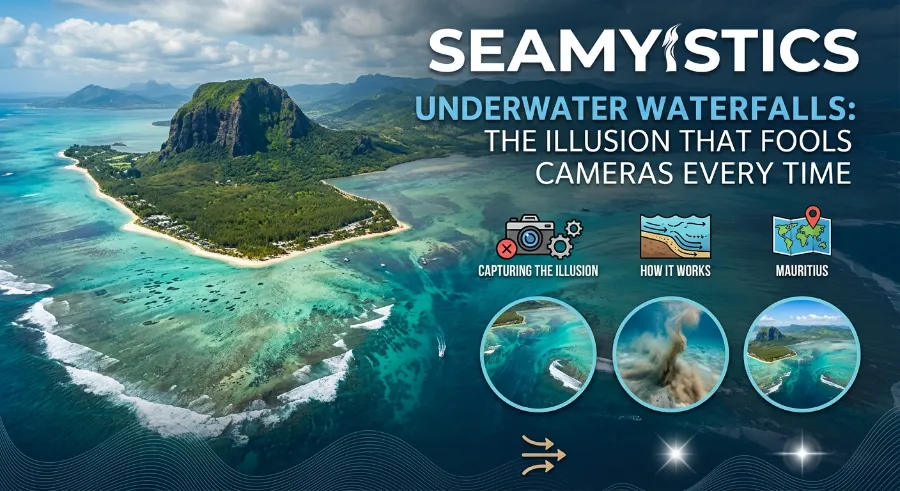

Scroll through enough travel reels and you will eventually hit that one clip: a swirl of blue water off the coast of Mauritius, sand pouring off the edge of the seafloor like Niagara Falls dropped into the Indian Ocean. It looks like the island itself is being sucked into a drain. It is not. The underwater waterfall illusion is one of the most photogenic tricks the ocean plays on the human eye, and understanding why cameras fall for it every single time turns out to be a genuinely fascinating piece of marine geology.
Ocean Whirlpools Explained The Truth Behind Maelstrom Legends
I have spent years reading satellite imagery, current data, and diver reports on coastal sediment transport, and this particular illusion is one of the cleanest examples of how light, depth, and moving sand can rewrite what a lens records. In this guide we will unpack exactly what is happening beneath the surface at Le Morne, compare it to real underwater waterfalls like the Denmark Strait cataract, and clear up the confusion once and for all.
Key Takeaways
| Question | Quick Answer |
|---|---|
| Is the Mauritius underwater waterfall real? | No, it is an optical illusion created by moving sand and silt, not falling water |
| Where is it located? | Off the southwest coast of Mauritius, near Le Morne Brabant peninsula |
| How deep is the drop-off? | The shelf gives way to an abyssal slope roughly 4,000 meters deep |
| Best way to view it | From the air, by helicopter, seaplane, or drone; it is nearly invisible from sea level |
| Is any real underwater waterfall on Earth? | Yes, the Denmark Strait cataract between Greenland and Iceland, driven by cold, dense water sinking beneath warmer water |
TL;DR: The underwater waterfall illusion off Mauritius is not water falling at all. It is sand and silt sliding off a shallow coastal shelf into a deep abyssal trench, and the color contrast between shallow turquoise and deep blue water tricks cameras into rendering it as a cascade. Genuine underwater waterfalls do exist elsewhere in the ocean, but they work through density, not sediment.
What Is the Underwater Waterfall Illusion, Really?
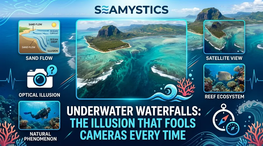
The phrase “underwater waterfall” describes a spot off Mauritius’ Le Morne Peninsula where, from above, the seabed appears to plunge downward in streaks of white and dark blue, mimicking a cascade. As Culture Trip explains, Mauritius sits on a raised ocean shelf that ends abruptly in a steep slope, and it is this topography, combined with shifting sand, that produces the visual trick. The island sits on a shelf raised above the true seabed, with a gradual slope that ends in a roughly 4,000-meter abyssal drop, and the resulting shades of blue come from sand and silt moving along that slope.
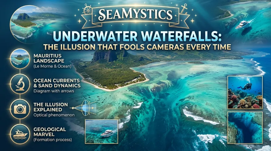
In plain terms, ocean currents pick up loose sand and silt from the shallow lagoon and carry it toward the edge of the shelf. Once that sediment reaches the drop-off, it spills over the lip and streams down the slope into deeper water, exactly the way water pours over a ledge. From a boat or the beach, none of this is visible. You need altitude, which is why every viral photo or underwater waterfall video was shot from a helicopter, seaplane, or drone.
Ghost Nets The Silent Killers Drifting Through the Deep Ocean
Why Cameras Get It So Wrong
Cameras do not actually get anything “wrong” technically, they are just recording light accurately, and that is the whole problem. Water absorbs and scatters light differently depending on depth, so shallow sand-filled water reads as pale turquoise while the sediment plume sliding into the trench reads as a darker, streaked blue. A sensor cannot tell the difference between “sand moving downhill” and “water falling downhill,” it only sees contrast and motion blur, and the brain fills in the rest with the most familiar shape it knows: a waterfall.
The Charybdis Whirlpool Legend and the Real Whirlpools of the Strait of Messina
Drone footage exaggerates this further. From directly overhead, the plume’s edges look crisp against the surrounding turquoise, and any wave chop or current line reads as flow direction. It is the same reason a satellite photo of a river delta can look like a tree, the eye pattern-matches to something recognizable.
The Real Geology Behind the Mauritius Underwater Waterfall
Mauritius is a young volcanic island, and its coastal shelf sits well above the true seafloor. According to Villanovo’s coverage of the site, strong ocean currents push sand and silt deposits off the edge of that shelf, and the varying depths create the ocean’s signature “fifty shades of blue” effect that makes the illusion so striking from the air, a mechanism Sciencing breaks down in more technical detail for anyone curious about the physics.
A few concrete numbers help put the scale in perspective:
- The shelf around Le Morne stays shallower than about 150 meters before the drop-off begins.
- Beyond that edge, the seafloor plunges to roughly 4,000 meters into open abyss.
- Local legend also ties the site to the 1835 abolition of slavery in Mauritius, when a group hiding on Le Morne mountain reportedly misunderstood approaching riders as a threat rather than messengers bringing news of their freedom, a story worth reading in full before you visit.
Photography is restricted at some viewing sites for safety and preservation reasons, and several tour operators note that cameras are not permitted during certain helicopter passes, which is part of why so much of the best underwater waterfall video footage online is drone or licensed aerial material rather than casual tourist shots.
The Mystery of Disappearing Fishing Fleets in the Bermuda Region
Mauritius Isn’t Alone: Where Real Underwater Waterfalls Exist
Here is the part most travel articles skip. The Mauritius sand cascade is an illusion, but genuine underwater waterfalls, driven by physics rather than sand, do exist, and the biggest one on Earth dwarfs anything above sea level.
Underwater Volcano Eruptions The Eruptions Happening Right Now Beneath the Waves
The Denmark Strait cataract sits between Greenland and Iceland, where cold, salty water from the Nordic Seas is dense enough to sink beneath the warmer Irminger Sea water and pour over a submerged ridge. NOAA describes it as a series of cataracts beginning around 2,000 feet below the surface and descending to depths near 10,000 feet, with an estimated flow well over 123 million cubic feet per second. That is a genuine density-driven waterfall, not a sediment plume, and it plays a real role in feeding the Atlantic’s deep circulation system.
| Feature | Mauritius “Waterfall” | Denmark Strait Cataract |
|---|---|---|
| What is actually moving | Sand and silt | Dense, cold seawater |
| Cause | Coastal shelf drop-off and currents | Temperature and salinity differences |
| Visible from the surface | No, only from the air | No, entirely submerged and instrument-detected |
| Approximate drop | Roughly 4,000 meters to the abyssal plain | Roughly 3.5 kilometers (11,500 feet) |
| Scientific classification | Optical illusion / turbidity-style sediment flow | True density current (oceanic cataract) |
Researchers are still actively studying how these submarine cascades behave. A University of Barcelona-led oceanographic expedition aboard the research vessel Sarmiento de Gamboa spent several weeks in 2023 measuring the hydrodynamics of underwater cascades in the region, combining direct observation with numerical modeling to understand how these flows shape the seafloor and affect deep-sea ecosystems. This kind of fieldwork matters well beyond Mauritius, since sediment and density-driven flows shape nutrient distribution, seafloor habitats, and even long-term climate patterns tied to ocean circulation, a subject we cover in more depth in our guide to deep-sea pressure and how life adapts to it.
How and Where to See the Illusion for Yourself
If a trip to Mauritius is on your list, timing and altitude make all the difference between a flat, unremarkable stretch of water and the full illusion.
- Book an aerial view. Helicopter, seaplane, or paraglide tours over Le Morne Brabant are the only reliable way to see the color contrast that creates the “waterfall” effect.
- Choose midday light. Direct overhead sun reduces surface glare and makes the sand plume’s color difference from the surrounding lagoon much sharper.
- Check the tide and current. Stronger currents move more visible sediment, so operators often time flights around active tidal movement for the clearest footage.
- Hike Le Morne Brabant itself. The peak sits at roughly 500 meters and offers a partial view of the surrounding reef and color gradient, even without flying.
- Pack a polarizing filter if you are shooting your own underwater waterfall video from a drone, since it cuts surface reflection and makes the sediment streaks read more clearly on camera.
Underwater Waterfall Illusion FAQs
Is the underwater waterfall in Mauritius fake? No, the location and the photographs are real. What is misleading is the label “waterfall.” What you are actually seeing is sand and silt sliding down a steep underwater slope, not falling water.
Why can you only see it from above? From sea level or underwater, the color contrast between the shallow shelf and the deep drop-off is nearly invisible. Altitude lets you see the full color gradient that creates the illusion.
Can you swim in the underwater waterfall? Yes, but currents near the drop-off are strong, and most guides recommend it only for confident, experienced swimmers accompanied by a local operator.
What causes real underwater waterfalls, like the one in the Denmark Strait? Density differences. Colder, saltier water is heavier than warmer water, so it sinks and flows beneath it, creating a genuine current-driven cascade rather than a sediment illusion.
Is the Mauritius phenomenon connected to any recently discovered marine life? Not directly, though similar undersea slopes and canyons around the world are known habitats for deep-sea species that researchers are still cataloguing, including some of the animals featured in our piece on recent megamouth shark sightings.
Conclusion
The underwater waterfall illusion off Mauritius earns its reputation honestly, it is one of the most striking optical effects the ocean produces, even though nothing is technically falling underwater at all. Once you know the mechanics, sand and silt sliding off a shallow shelf into a 4,000 meter abyss, painted in contrasting shades of blue, the illusion becomes even more impressive rather than less. And if you want to see a waterfall that is not an illusion, the Denmark Strait cataract is out there right now, moving more water than any river on the planet, completely invisible from the surface. For more on how ocean scientists study the seafloor’s hidden features, explore the full Sea Mystics archive.
References
- Sakaram, Rusheel. “The Story Behind Mauritius’ Underwater Waterfall Illusion.” Culture Trip. https://theculturetrip.com/africa/mauritius/articles/the-story-behind-mauritius-underwater-waterfall-illusion
- “Explore the Mauritius Underwater Waterfall Illusion.” Villanovo. https://www.villanovo.com/magazine/mauritius/article-marvel-at-the-mauritius-underwater-waterfall-illusion-in-the-ocean
- “Where is Earth’s Largest Waterfall?” NOAA Ocean Service. https://oceanservice.noaa.gov/facts/largest-waterfall.html
- “The World’s Largest Waterfall Is Actually Underwater.” ZME Science. https://www.zmescience.com/feature-post/natural-sciences/geography/world-largest-waterfall-underwater
- Mauritius island wonder feature. https://theflore.com/blog-posts/2025-07-16-mauritius-island-wonder-underwater-waterfall
- “Phenomenon: Underwater Waterfall Explained.” Sciencing. https://www.sciencing.com/1691221/phenomenon-underwater-waterfall-explained