
We have mapped more of Mars than we have mapped our own seafloor. That fact still stops me mid-sentence at conferences. Future ocean exploration is no longer a niche pursuit. It is becoming one of the most important scientific frontiers of this decade. And 2026 has already shown us a preview of what comes next. Robotic submersibles now find new species in days, not years. Satellite systems map the seafloor from orbit. The pace of discovery keeps accelerating.
Key Takeaways
| Trend | What It Means | Why It Matters |
|---|---|---|
| AI-powered ROVs | Robots identify species and hazards in real time | Cuts research time from years to days |
| Satellite ocean mapping | Maps seafloor bathymetry from orbit | Supports the Seabed 2030 mapping goal |
| Autonomous underwater vehicles (AUVs) | Run long, uncrewed missions | Reaches depths too risky or costly for crewed dives |
| Public-private partnerships | NOAA, Schmidt Ocean, and Ocean Exploration Trust work together | Multiplies expedition capacity and opens up data |
| Deep-sea mineral mapping | Pairs exploration with environmental baseline data | Balances resource interest with conservation |
TL;DR: Smarter robots, satellite mapping, and global collaboration are driving future ocean exploration after 2026, not one single breakthrough vessel. Expect faster species discovery and deeper seabed mapping under Seabed 2030. Expect exploration, conservation, and mineral policy to keep overlapping more. If you read only one section below, read the one on autonomous vehicles. That is where most future progress will come from.
Why Ocean Exploration Is Entering a New Era
For most of the twentieth century, ocean exploration meant one thing. A small crew took a submersible down and waited. The Alvin research submersible changed that story in the 1960s. NOAA still uses it for research today. But today’s tools work very differently from anything Alvin’s original pilots imagined.
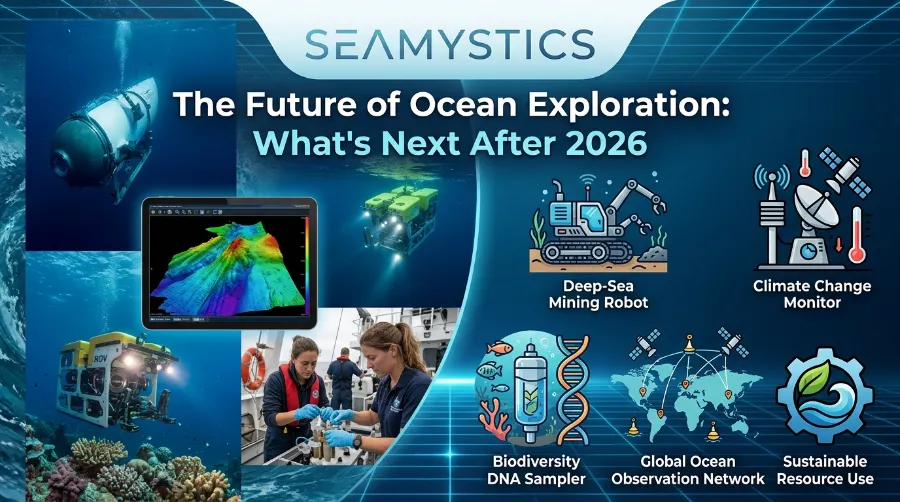
Modern expeditions rely on remotely operated vehicles and autonomous systems. Scientists watch live video feeds from thousands of miles away. NOAA Ocean Exploration’s 2026 field season covers the Pacific, the Caribbean, and even Lake Michigan. Teams stream it publicly, so researchers and curious viewers can watch discoveries as they happen. This push toward speed and openness points clearly toward the future of oceanography.
The Numbers Behind the Shift
Look at what happened in just a few weeks this year. In June 2026, a Schmidt Ocean Institute expedition aboard the Falkor (too) found more than 30 new marine species off Brazil. The team worked in the ocean’s midwater zone, the space between sunlit surface waters and the seafloor. Separately, teams in the Mar del Plata Canyon found roughly 40 potential new organisms. These included unusual soft corals and star-shaped marine life. A decade ago, confirming one new species could take years of lab work. Now combined technology and expertise let teams do it in days.
Next Deep Sea Missions Already Taking Shape
Want a preview of ocean exploration trends for the next few years? Look at what is already funded, not what is speculative.
- Ocean Exploration Trust will run its 2026 Pacific season from June through October. The E/V Nautilus will explore the Mariana Islands, Wake Island, and the Hawaiian Archipelago. This work feeds directly into the U.S. National Strategy for Ocean Mapping, Exploration, and Characterization.
- NOAA Ocean Exploration is running a 28-day joint mission with the Cook Islands Seabed Minerals Authority. The mission uses ROVs and mapping systems to study polymetallic nodule habitats on the abyssal plains.
- Schmidt Ocean Institute has expeditions running near Trinidad and Tobago. Teams are testing a new cryopreservation method. It keeps marine invertebrate samples viable at minus 20 degrees Celsius. This step could reshape how scientists archive biodiversity for future study.
Each mission leans on tools we cover in more depth in our guide to autonomous underwater vehicles. These vehicles are steadily taking over tasks once reserved for crewed submersibles.
Upcoming Ocean Technology Driving the Next Decade
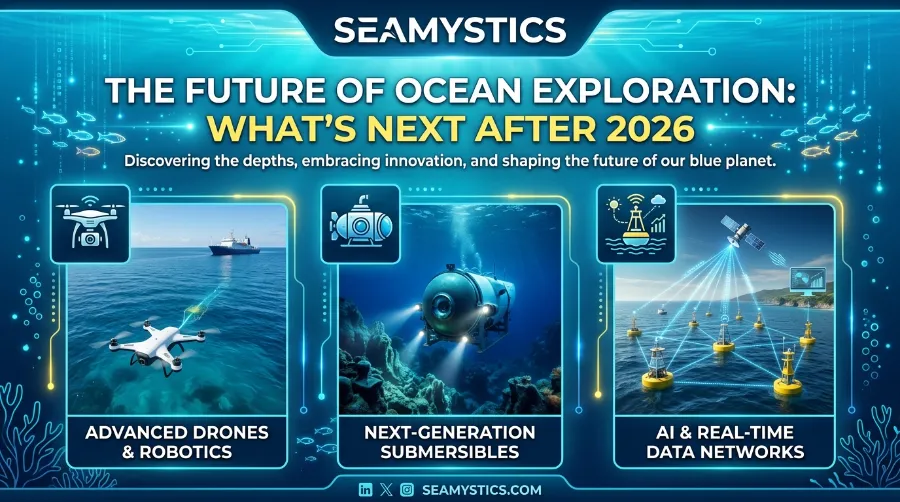
A single flagship vehicle will not define the next deep sea missions. A stack of technologies working together will.
- Satellite ocean mapping fills bathymetric gaps from orbit. It feeds directly into projects like our breakdown of satellite ocean mapping and the global Seabed 2030 initiative. That initiative aims to map the entire ocean floor by the end of this decade.
- AI-assisted ROVs can flag unusual organisms or seafloor features in real time. Teams no longer need to wait for post-dive analysis. This speeds up discovery dramatically.
- Deep-sea sonar systems keep improving. Our piece on deep-sea sonar explains this further. These systems can now tell geological features apart from biological ones, even at extreme depth.
- Subsea cable networks now do double duty. Our article on deep-sea cables covers how they carry global internet traffic. But they also quietly gather seismic and temperature data as they do it.
These tools rarely work alone. A typical modern expedition, like those run through the Ocean Exploration Trust or NOAA Ocean Exploration, stacks satellite data, sonar mapping, and ROV dives into one operation. Teams then make the resulting data public. That openness matters more than it might seem. A marine biology student in Portugal can now analyze footage from a Pacific trench dive the same week researchers record it.
How Deep Sea Mapping Sonar Actually Works Today
New Deep-Sea Species Documented in 2026 Expeditions
The chart above shows a clear pattern across three 2026 expeditions. Every time a team tests new imaging or sampling technology, the discovery rate jumps. That is a strong early signal for where research funding will go over the next few years.
Case Study: The Five Deeps and What It Set in Motion
The Five Deeps Expedition proved something important before 2026’s expedition boom even started. A single custom-built submersible could reach the deepest point of every ocean. The team completed this feat between 2018 and 2019. Our Five Deeps Expedition coverage details it further. That project changed expectations across the field. It showed funders and scientists that privately backed deep-sea projects could deliver real, peer-reviewed results, not just headlines. Teams at the Ocean Discovery League and OceanX have cited that project as part of what convinced philanthropic funders to invest in ocean science at this scale.
The Mineral Question: Exploration Meets Policy
Not every story about future ocean exploration is purely scientific. The 2026 NOAA and Cook Islands Seabed Minerals Authority mission focuses on mapping polymetallic nodules. These mineral deposits contain cobalt, nickel, and manganese, all used in batteries. This is where exploration meets resource policy, and it is worth watching closely.
- Supporters argue that responsible seabed mineral mapping reduces reliance on land-based mining. Land mining often causes deforestation and displaces communities.
- Critics, including several marine conservation groups, push back hard. They argue that seabed ecosystems recover far more slowly than land ecosystems. Mining could cause irreversible damage before we even finish cataloguing what lives there.
Both sides agree on one thing. The environmental baseline data collected right now will shape whatever regulations eventually govern deep-sea mining. Teams often gather this data using the same ROVs built for species discovery.
Real Case Study: Trinidad and Tobago’s Baseline Survey
Watch the Schmidt Ocean Institute-backed baseline study of Trinidad and Tobago’s deep-sea ecosystems closely. Dr. Diva Amon leads a primarily Trinidadian science team on this project. They use a low-cost underwater camera and sensor system called DORIS. Engineers built it specifically to make deep-sea research accessible to nations without large oceanographic budgets. This matters for future ocean exploration because it signals a shift. Exploration is moving away from domination by a handful of wealthy nations. It is moving toward a more distributed, globally representative model of who gets to study the deep sea.
How AI Overviews and Search Are Already Changing Ocean Science Communication
A quieter shift is happening alongside the technology itself. It concerns how the public actually learns about these discoveries. Expedition teams increasingly publish structured summaries, FAQs, and plain-language explainers. Curious readers and AI-generated search overviews now surface information about new species, missions, and technology this way. The Schmidt Ocean Institute rebuilt its public communications around this shift. The organization now publishes detailed, citation-friendly expedition pages instead of dense academic-only reports. Readers get clearer access to real findings. And public support for ocean science funding now depends heavily on how well scientists explain that science, not just how well they conduct it.
What to Expect Over the Next Five Years
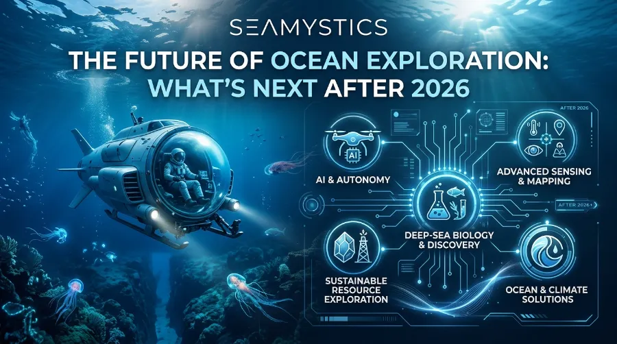
- More AUV-led missions will replace some crewed submersible dives for routine mapping work
- Live-streamed exploration will expand, following the model NOAA and Ocean Exploration Trust already use
- Low-cost tools like DORIS will grow, widening participation from smaller coastal nations
- Tension between mineral exploration and conservation will likely produce new international regulation
- AI-assisted image analysis will speed up species identification aboard research vessels
Frequently Asked Questions
What is the biggest change coming to ocean exploration after 2026?
Speed is the biggest shift. AI-assisted ROVs and streamlined lab processes now let teams confirm new species in days, not years.
Are autonomous underwater vehicles replacing crewed submersibles?
Not entirely. AUVs now handle long-duration mapping and survey work. But crewed and remotely operated dives, like those from the Alvin submersible lineage, still handle detailed sampling and observation.
What is Seabed 2030?
It is an international initiative that aims to produce a complete map of the ocean floor by 2030. It relies heavily on satellite data, sonar, and coordinated public expeditions.
Is deep-sea mining part of ocean exploration?
It overlaps with it. Many mineral-mapping expeditions, like NOAA’s 2026 Cook Islands mission, collect environmental baseline data. That data will inform future mining regulation, even though the mission’s primary goal is exploration and research.
How can the public follow real ocean expeditions?
NOAA Ocean Exploration and Ocean Exploration Trust livestream ROV dives. Groups like OceanX and the Ocean Discovery League regularly publish expedition updates and blog coverage.
Conclusion
The future of ocean exploration will not arrive as one dramatic leap forward. It will arrive as a steady buildup of smarter tools, wider global participation, and faster science. Expeditions like the Five Deeps and long-serving vehicles like Alvin started this story. A global network of satellites, autonomous vehicles, and open data platforms now carries it forward. Over the next five years, the ocean will keep giving up its secrets faster than ever. And the conversation will increasingly ask who gets to explore, who benefits, and how we protect what we find along the way.
References
- Ocean Exploration Trust, 2026 Pacific Seafloor Research Season announcement
- NOAA Ocean Exploration, “In the Field: 2026” expedition schedule
- Schmidt Ocean Institute, 2026 Expeditions overview (Falkor too, Trinidad and Tobago, Brazil midwater cruise)
- Bigelow Laboratory for Ocean Sciences, “31 New Species Discovered in Two Weeks of Deep-Sea Exploration”
- Ocean Science & Technology, “Deep-Sea ROV Expedition Launched to Map Critical Minerals” (Cook Islands mission)
- Nautilus Live, 2026 Expedition Program
- Ocean Discovery League Blog
- OceanX Blog
- Schmidt Ocean Institute Website Partnership Announcement